
Maps are like the storytellers of geography, each type sharing a different tale about the world we live in. Let's dive into the fascinating world of maps in a casual, conversational way. Imagine we're exploring a treasure chest filled with various kinds of maps, each with its unique charm and purpose.
Referential
1. General Reference Maps: These are your go-to maps for everyday use. Think of them as the classic maps you'd use to navigate cities or find countries on a globe. They're like the friendly neighborhood guide, showing you roads, cities, and significant landmarks. They're straightforward, easy to read, and perfect for getting from point A to point B.
Topographical
2. Topographical Maps: Now, these are the adventurers of the map world. They're all about the lay of the land – the hills, valleys, mountains, and rivers. Topographical maps are like 3D representations on a 2D surface, using contour lines to show elevation. They're the favorites of hikers and geologists because they give a sense of the terrain, whether it's a gentle slope or a steep climb.
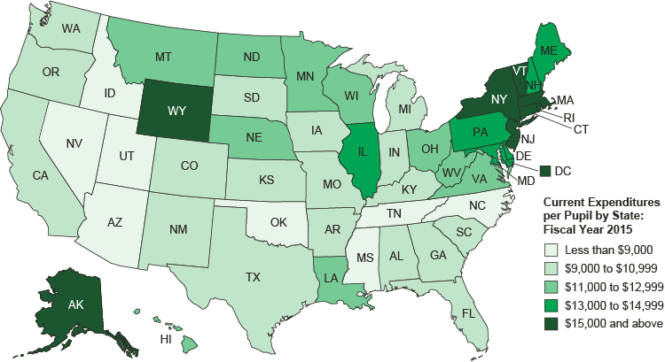
Thematic
3. Thematic Maps: Here's where maps get really specific. Thematic maps are like the nerds of the map family, focusing on particular themes or topics. Want to know where the population is densest? Or where the most coffee is grown? Thematic maps have got you covered. They're great for researchers and planners because they highlight specific data, like climate patterns, economic trends, or health statistics.
Navigational
4. Navigational Charts: These are the lifelines for sailors and pilots. Navigational charts are specialized maps for sea or air travel. They're less about what's on land and more about what's in the water or the sky. These maps include crucial details like water depths, locations of hazards, and navigation aids. They're the trusty sidekicks for those navigating the vast oceans or skies.
Cadastral
5. Cadastral Maps and Plans: Think of these as the record-keepers. Cadastral maps deal with land ownership and property boundaries. They're super detailed, showing who owns what. These maps are essential for legal purposes, land administration, and urban planning. They're like the meticulous librarians of the map world, keeping track of every piece of land.
Political
6. Political Maps: These are the straightforward, no-nonsense types. Political maps show countries, states, and cities. They're all about human-made boundaries and political divisions. They're like the diplomats of the map world, outlining how we've divided up the earth into countries and states.
Physical
7. Physical Maps: These beauties focus on the natural aspects of the world – mountains, rivers, and lakes. They're like the artists, using colors to show different elevations and landscapes. Physical maps give us a glimpse into the natural beauty and diversity of our planet.
Climatic
8. Climatic Maps: These maps are like the weather forecasters of the map world. They show different climate zones and weather patterns. They're essential for understanding regional climates and are super helpful for farmers, scientists, and even tourists planning their next vacation.
Economic
9. Economic or Resource Maps: These are the business-minded maps. They highlight resources and economic activities in different areas. They're like the economists of the map world, showing where you'll find oil fields, vineyards, or tech hubs.
Road
10. Road Maps: Last but not least, the practical road maps. These are your everyday heroes, guiding you through highways, streets, and alleys. They're like the friendly local guides, helping you navigate through cities or plan your road trips.Each type of map serves a unique purpose, offering a different perspective of our world. Whether you're planning a journey, studying the earth's surface, or analyzing data, there's a map for every need. It's like having a toolbox where each tool is designed for a specific task – maps do the same, but for our understanding of the world.
Share:
Eclipse Glasses USA Partners with St. Mary School for April 2024 Total Eclipse
Pressure and Contour Lines