
Lake Bonneville's story is like a grand, geological drama, unfolding over thousands of years, and it's quite a tale! Imagine, if you will, a vast, prehistoric lake, stretching as far as the eye can see, covering what is now northwestern Utah, northeastern Nevada, and southeastern Idaho. This was Lake Bonneville, a colossal body of water that existed during the last Ice Age, about 25,000 years ago.
The story begins with the climate of the Ice Age, which was much wetter than today. This climate filled Lake Bonneville to a level about 300 feet above the current Great Salt Lake. Picture a lake covering around 9,300 square miles – that's huge! Its shorelines were so prominent that you can still see them today, like the ones near the State Capitol or east of Wendover.
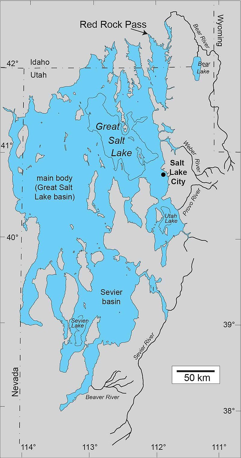
As time went on, around 15,000 years ago, Lake Bonneville grew even more. It reached its highest level, known as the Bonneville Level, controlled by the height of a pass near Red Rock Pass. This immense lake, with a surface area of 19,800 square miles, left shoreline traces over 2,000 miles long. It was so large that most of the area where Utah's residents and industries are now located was underwater!
Now, here's where it gets dramatic. The Bonneville Flood, a catastrophic event that occurred about 15,000 years ago, dramatically changed the lake's story. The flood happened when the waters breached the sediments at Red Rock Pass, scouring a channel down to the bedrock. This event lowered the lake's level by more than 300 feet in a very short time, probably less than a year, to the Provo Level, which was about 4,740 feet above sea level.
The lake remained at this Provo Level for over a thousand years, relatively fresh and controlled by the spillover elevation at Red Rock Pass. The shorelines from this period are marked by deltas, spits, lagoons, and wave-cut benches. Interestingly, many of Utah's university campuses are located on this Provo Level of Lake Bonneville.
But the story doesn't end there. Approximately 12,000 years ago, the lake level fell sharply due to changes in the Great Basin climate. The last gasp of the Bonneville Lake cycle ended about 10,000 years ago, leaving the Gilbert Level Shoreline, about fifty feet above the current level of Great Salt Lake.
Lake Bonneville is a relatively young geological feature, measured in thousands rather than millions of years. But its importance is immense. The large deposits of sand and gravel mined along the Wasatch Front were formed by Lake Bonneville. The lake's features provide a fantastic laboratory for studying landforms beneath and along lakeshores. The deformation of the lake's shorelines gives us valuable information about the earth's crust's physical properties.
And here's a thought to ponder: the development of another Lake Bonneville would flood most of Utah's populated areas. Even minor fluctuations of the Great Salt Lake, which can be expected every hundred years or so, could flood billions of dollars of development along its shoreline.
So, there you have it – the story of Lake Bonneville, a tale of climatic changes, catastrophic floods, and geological wonders, all playing out over thousands of years in what is now the Great Basin of the United States.
Share:
Protecting Your Vision: Eye Safety During a Solar Eclipse
How Effective Are Eclipse Glasses?